Geosteering Services

Minimize errors & maximize performance

Geosteering refers to the process of adjusting and correcting a well’s trajectory in real-time in order to increase the penetration of the most productive part of the reservoir. These adjustments are made based on real-time LWD and MWD data. GEOSTEERING OFFICE software is the most powerful suite of tools for collecting and analyzing this data, enhancing the operator’s ability to make better decisions — successful geosteering results in higher revenues and more profitable projects overall. Geosteering support is carried out daily around the clock (24/7/365). Two geosteering engineers per shift load and process the data and make recommendations for well trajectory changes based on their analysis.

geosteering services

Our approach to geosteering services

ADAGA Solutions is proud to be one of the top geosteering companies in the world. In addition to supplying our proprietary GEOSTEERING OFFICE software and geosteering training for geosteering engineers and non-geosteering specialists, we can also perform services in-house. Our team of experienced, industry-leading engineers specialize in geosteering services for drilling horizontal wells. Our service typically includes landing the transport section in the target formation and navigating the horizontal section inside the target interval.

The purpose of geosteering

Errors and uncertainties that arise during well planning and drilling require critical decisions for creating horizontal wells. Such uncertainties include the vertical resolution of the seismic data and calculations of the well’s trajectory while drilling. The magnitude of potential errors varies based on the size of the target interval. For example, miscalculating a horizontal well 3,000-3,500 meters long due to uncertain data could result in an error of several meters. Effective geosteering, on the other hand, is based on real-time data and can ensure accuracy down to the centimetre.
Geosteering Software
geosteering services

Methods & measurements used for geosteering

There are two methods you can use for geosteering. Geosteering based on logs includes comparing actual and synthetic curves with data obtained from LWD and offset wells. Geosteering with images allows engineers to understand structural dips when there are similar log responses on the top and bottom of the target interval. The images are also acquired from LWD.

Remote & on-site geosteering

GEOSTEERING OFFICE operates both in real-time with a WITSML connection and offline mode, making it possible for both on-site and remote geosteering. On-site geosteering is performed in conjunction with well site geology or mudlogging, while off-site can take place at ADAGA headquarters with real-time data updates. We offer both approaches to geosteering services based on your needs and project specifications.

Geosteering Training
geosteering services

Benefits of our
geosteering services

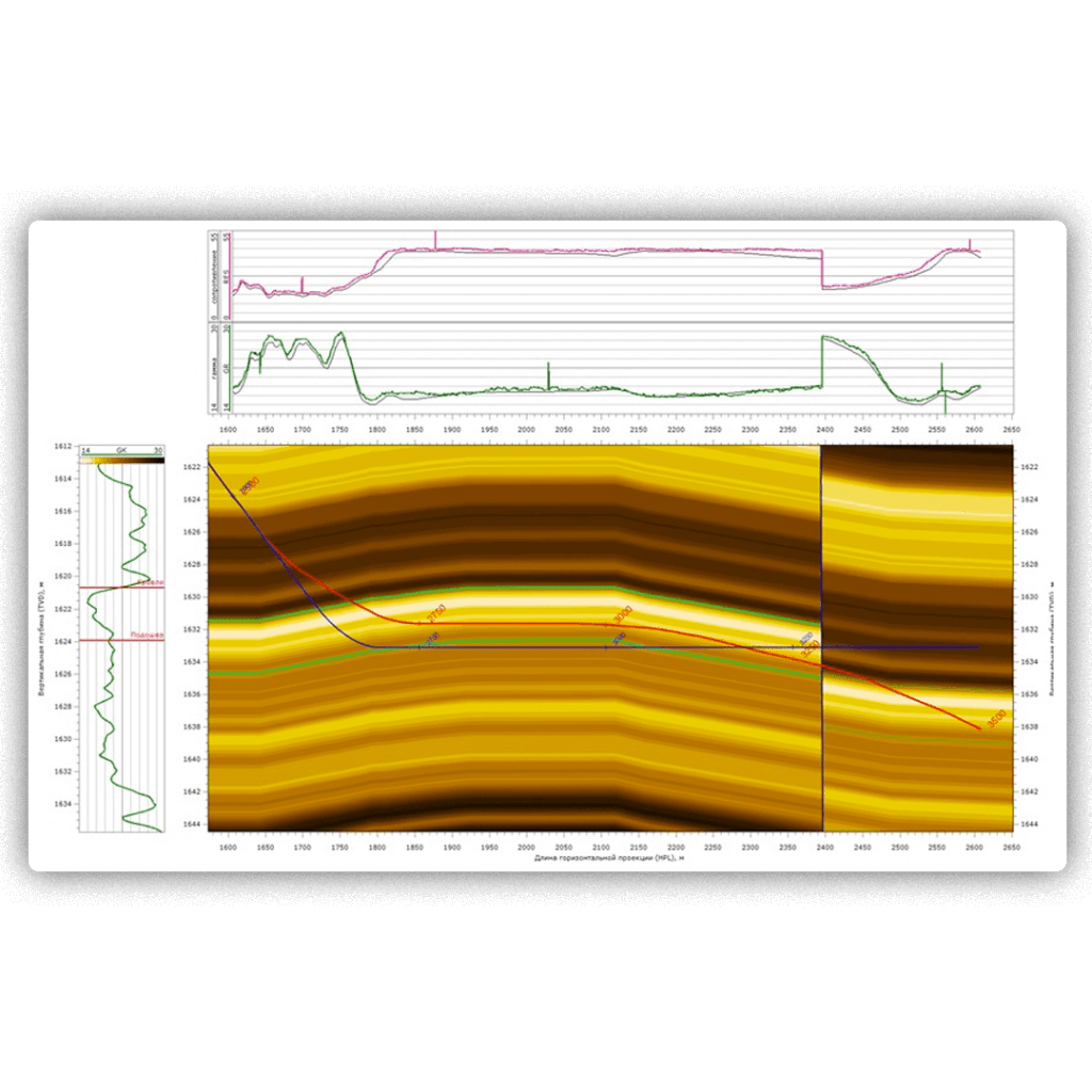
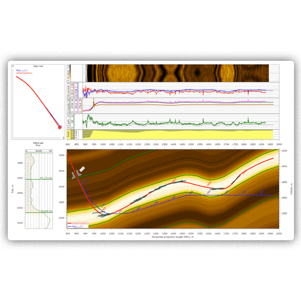
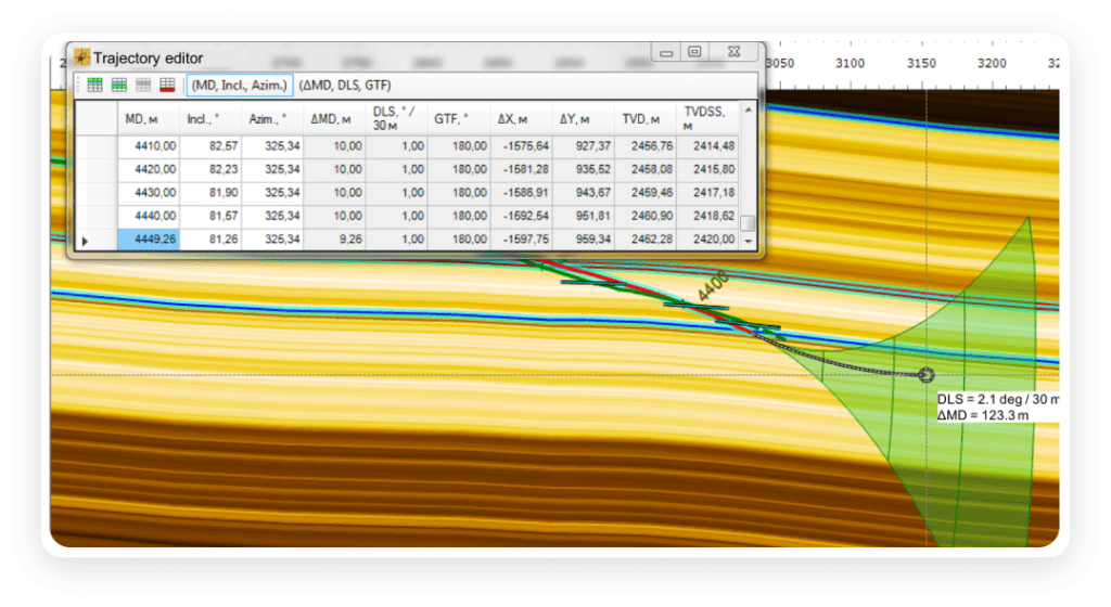
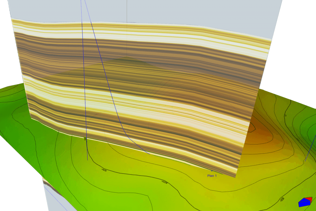
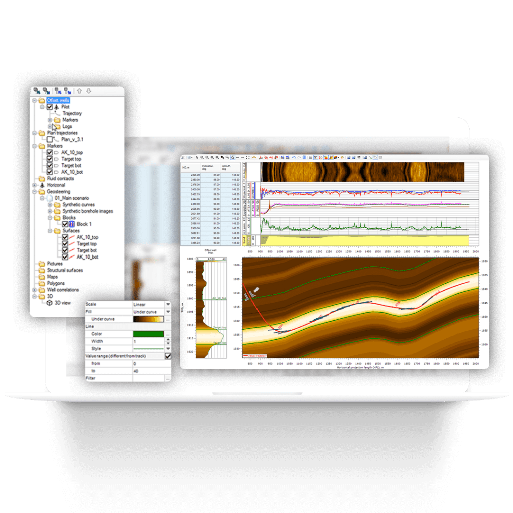
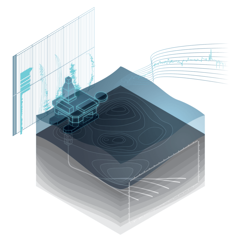
At ADAGA, we have extensive experience with successful geosteering, utilizing our own cutting-edge software, GEOSTEERING OFFICE. Our priority is to provide personal care and attention to each of our geosteering clients through continuous well supervision, monitoring, and real-time assessments. We also assist with well placement and drilling optimization, proactive geosteering evaluations, and more while facilitating open communication with rig operators to ensure optimal outcomes.

GoStream software

GEOSTEERING OFFICE Software

GEOSTEERING OFFICE is our proprietary geosteering software, designed to improve the accuracy and efficiency of well placement. Operating in real-time, GEOSTEERING OFFICE is the most logical and practical drilling software solution available. With embedded tools for engineering, customizable reporting capabilities, and an intuitive interface, GEOSTEERING OFFICE offers the best value for the best price.

Because each well counts

Save money and improve productivity through our unique and powerful suite of geosteering tools, software, and services. Get started with ADAGA Solutions.